Harnessing the power of data
Harnessing the power of data
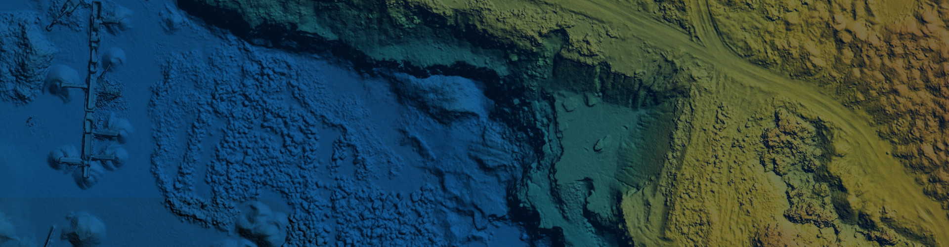
PASCO provides access to the world-class Earth Observation data and imagery from Japan's Advanced Land Observing Satellites ALOS-1 and ALOS-2, equipped with the high-resolution sensors PALSAR-2 and PRISM-2 and operated by the Japan Aerospace Exploration Agency, JAXA.

Unmatched capabilities tailored to your needs
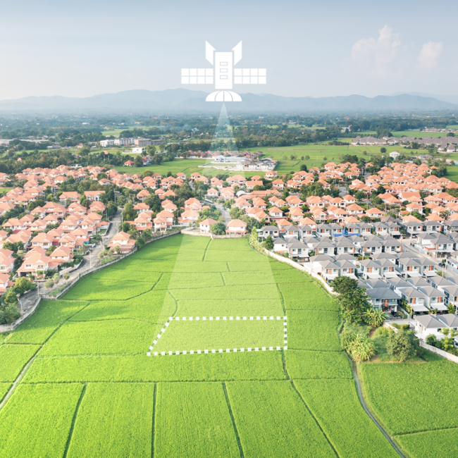
PASCO products offer capabilities across sectors, including surface monitoring, disaster management, and environmental observation.
At Consortis Geospatial, we transform PASCO advanced capabilities into customized solutions across various industries and applications. From government agencies to research institutions, and from agricultural development to natural resource management, we empower our clients to harness the full potential of satellite data.
PASCO Applications
PASCO Applications
Dynamic observation of an ever-evolving Earth
We help them harness
the power of PASCO!
We help them harness
the power of PASCO!
Government agencies
Monitoring environmental conditions, managing natural resources, responding to emergencies and disasters, and tracking defense and security.
Research institutions
Research applications, including studying climate change, mapping vegetation and land use, monitoring sea currents, analyzing air quality,
land deformation and seismic impact.
Non-governmental organizations
Monitoring and protecting marine ecosystems, studying biodiversity,
and mapping areas affected by natural disasters.
General public
For various applications, such as planning outdoor activities, monitoring air quality, and tracking weather patterns.
Private companies use satellite data for various purposes, such as:
- Agriculture: monitor crop health, estimate yields, and optimize fertilizer and water use.
- Environmental monitoring: air and water quality, deforestation, and land use changes.
- Energy: oil and gas reserves, wind and solar power generation, and pipeline infrastructure.
- Infrastructure: monitor, manage, and maintain infrastructure, including roads, bridges, and buildings.
- Maritime: provide real-time information on vessel location, movement, shipping and fishing.
- Urban planning: to monitor and manage urban areas, includin population growth, land use changes, and transportation networks.
Ready to elevate
your data stream?
Ready to elevate
your data stream?
Contact Consortis Geospatial team for PASCO
solutions tailored to your needs.

Energy
renewable energy resources such as solar and wind power

Environmental monitoring
climate patterns, weather systems, and environmental changes

Mapping and surveying
land use planning, infrastructure development, and natural resource management.

Natural resource management
natural resources such as forests, water bodies, and mineral deposits.
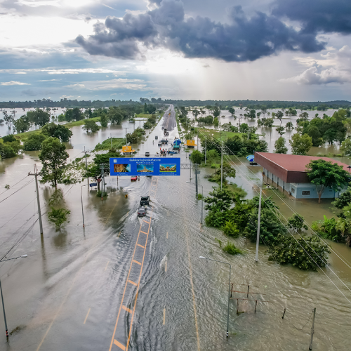
Disaster management
earthquakes, floods, landslides and land deformation, which can help in managing these events and mitigating their impact

Agriculture
particularly for crop monitoring, yield forecasting, and irrigation management

Maritime

Urban Planning
