Precision, expertise, and trust
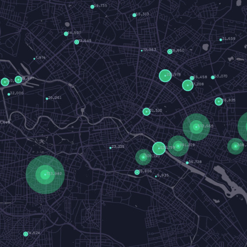
We are among the key factors for the success of the Hellenic Cadastre due to our expertise and extensive experience in studies and information management. Our services include creating base maps, collecting property declarations, cadas tral surveying, database designing, conducting legal reviews, owner notifications, handling objections, geometric chang es, obvious error requests, database restructuring, and more. Maximum accuracy in measurements and topographic calculations is primarily a matter of high technology; that’s why we continuously invest in it.
Nevertheless, technology alone is not enough to ensure the overall quality of our services. It also requires the highest levels of professional responsibility and consistency, characteristics that have established Consortis as a leader in the field!
Sub Categories
- Cadastral Surveys & Implementation Acts
- Altitude Studies > Implementation Diagrams
- Correctional Implementation Acts
- Land Redistribution & Compensation Acts
- Surveying of Large Areas (e.g., for photovoltaic system installation)
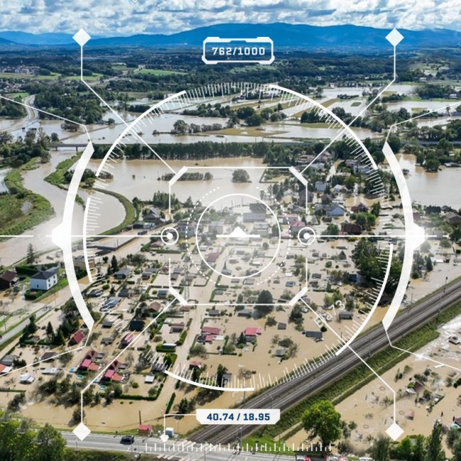
- Reclamation Studies
- Bathymetric Surveys
- Studies for land expropriation for road construction
- Land Plotting - Parceling
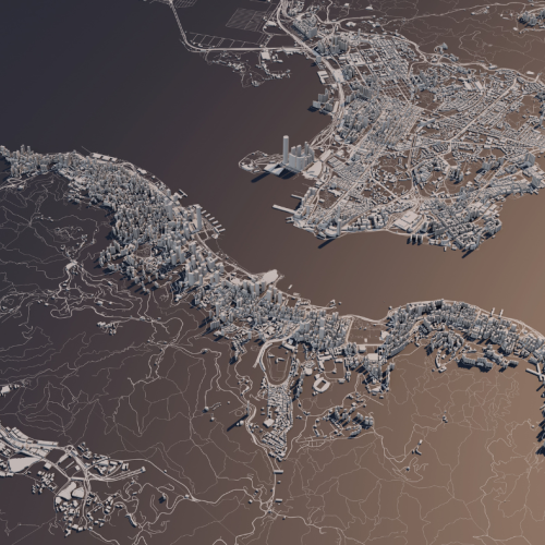
- Rendering of digital terrain models
- Preparation of topographic diagrams for contracts, issuance of permits, spatial changes, etc.
- Establishment and monitoring of High Precision Networks
- Creation of Digital Terrain Models
- Excavation markings
- Landfill calculations - volumetrics
- As-built surveys
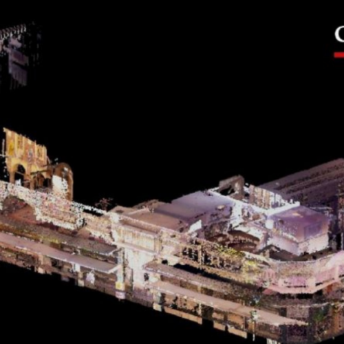
- 3D Laser Scanner Surveys