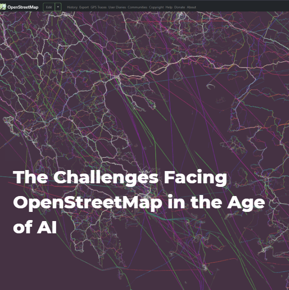
The Challenges Facing OpenStreetMap in the Age of AI

1

OpenStreetMap (OSM) is a free, editable global map built and maintained by a worldwide community of volunteers through crowdsourcing, operating in a manner similar to Wikipedia. Founded in 2004, it provides open geospatial data—such as roads, buildings, and points of interest—that anyone can use freely, including for commercial purposes. However, as vast volumes of automated requests from bots increasingly strain its infrastructure, this very openness is turning into a sustainability challenge. Data scraping (large-scale automated data extraction) has always been present, but it has recently grown at an exponential—and concerning—rate.

Source: Spatialists, https://spatialists.ch/posts/2026/01/28-osm-scraping/

OSM

Newsroom

newsroom

Insights & Articles

LULC change analysis in support of the Greek national space project

On
The Greek national satellite space project: axis 3 land monitoring service aims to strengthen the country's capabilities in satellite technologies and applications while facilitating the exchange of satellite data. Its primary objective is to design, deve
diagram

GeoBits: Small updates, big ideas from the world of geospatial

On
Τι νέο «χτίζεται» αυτή τη στιγμή στον κόσμο των γεωχωρικών τεχνολογιών; Ποιες εφαρμογές αλλάζουν τον τρόπο που βλέπουμε και αξιοποιούμε τον χώρο γύρω μας;
pannels

Geospatial News

On
Το “Geospatial” είναι ο κόσμος όπου τα δεδομένα «πιάνουν τόπο» - στον χάρτη. Και εμείς, στην Consortis Geospatial, συγκεντρώνουμε για εσάς τις πιο ενδιαφέρουσες εξελίξεις από τη γεωπληροφορική, τα GIS και τα γεωχωρικά δεδομένα, από κάθε γωνιά του κόσμου.
geospatial news

Δημόσια Map Portal – Μια νέα προσέγγιση

On
Η ταχεία ανάπτυξη των GIS και ειδικά των διαδικτυακών εφαρμογών αυτών, έχει αλλάξει τον τρόπο με τον οποίο οι οργανισμοί διαχειρίζονται και αξιοποιούν τα γεωχωρικά δεδομένα. Πόσο πετυχημένα το κάνουμε όμως αυτό στην Ελλάδα;
Evrymap Thermaikos