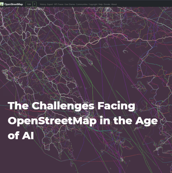
Geobits Ν°2: The Challenges Facing OpenStreetMap in the Age of AI
OpenStreetMap (OSM) is a free, editable global map built and maintained by a worldwide community of volunteers through crowdsourcing, operating in a manner similar to Wikipedia. Founded in 2004, it provides open geospatial data—such as roads, buildings, and points of interest—that anyone can use freely, including for commercial purposes. However, as vast volumes of automated requests from bots increasingly strain its infrastructure, this very openness is turning into a sustainability challenge. Data scraping (large-scale automated data extraction) has always been present, but it has recently grown at an exponential—and concerning—rate.
Source: Spatialists, https://spatialists.ch/posts/2026/01/28-osm-scraping/