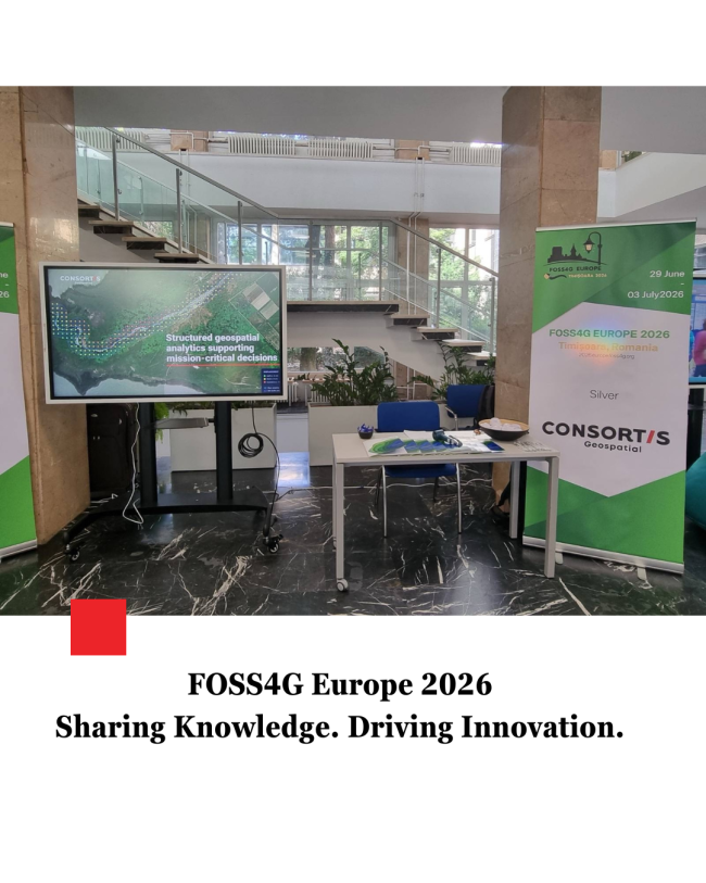
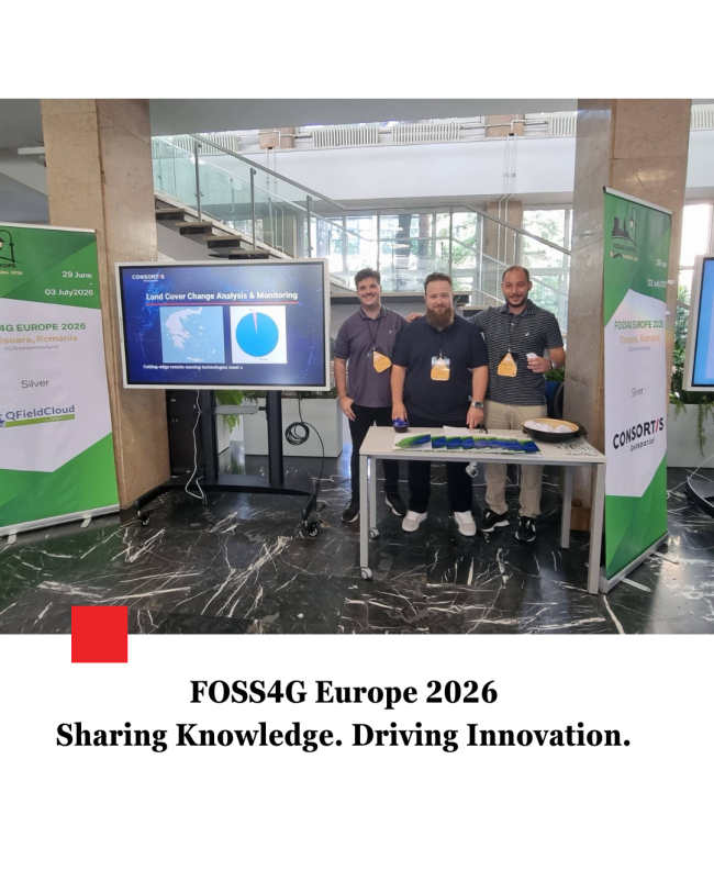
Another great experience for the Consortis Geospatial team at FOSS4G Europe 2026!
We were proud to participate in one of the leading international conferences dedicated to open geospatial technologies, presenting two projects that showcase the power of Open Source and its modern applications in the GIS domain:
- "MAPtheYA – A Unified GIS Ecosystem for Smart Water Network Management"
Presented by Dimosthenis Paradeisis, Senior Software Engineer, Stathis Petridis, Senior Data Engineer, and Andreas Garavelis, Senior GIS Data Engineer. - "MapFile Preview: A Browser-Based Tool for Editing and Testing MapServer Mapfiles"
Presented by Stathis Petridis, Senior Data Engineer, Dimosthenis Paradeisis, Senior Software Engineer, and Andreas Garavelis, Senior GIS Data Engineer.
We would like to thank everyone who attended our presentations, exchanged ideas with us, and contributed to engaging discussions about the future of geospatial technologies.
Our participation in FOSS4G Europe 2026 reflects our ongoing commitment to innovation, collaboration, and the development of solutions that harness the potential of Open Source technologies for real-world applications.
A few highlights from the conference in Timișoara, Romania.