GIS: Myth vs Reality
How much of what you think you know about GIS is actually true?
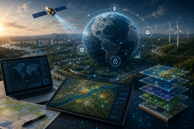
A Geographic Information System (GIS) combines maps with data. It allows users not only to see where things are located, but also to understand spatial relationships and patterns in greater depth—supporting better, data-driven decisions.
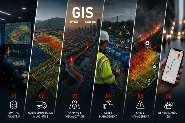
Six key capabilities of GIS
1. Spatial Analysis
❌ MYTH
GIS is simply a digital map.
✔ REALITY
GIS brings together different types of geospatial data—such as land use, altitude and road networks—to answer complex questions. For example, it can identify the most suitable location for a solar park or highlight areas at increased risk of flooding.
2. Route and Logistics Optimisation
❌ MYTH
GIS only shows where something is located.
✔ REALITY
GIS can analyze road networks, traffic conditions and other relevant factors to determine the fastest or most cost-effective route. This capability is used every day by delivery and transport companies, logistics providers and navigation applications.
3. Mapping and Data Visualisation
❌ MYTH
Maps are just images.
✔ REALITY
GIS transforms complex data into comprehensive clear digital maps, charts and 3D visualizations, making spatial patterns easier to identify and understand. These maps can be interactive and dynamic, displaying real-time information and three-dimensional data to support more informed decision-making.
4. Infrastructure and Asset Management
❌ MYTH
GIS is used only to record the location of infrastructure.
✔ REALITY
GIS supports the entire lifecycle of an infrastructure asset. It combines location data with information about condition, damages and failures, maintenance activities and planned interventions. This enables organizations and businesses to manage water, electricity, telecommunications and transport networks—as well as many other types of assets—more efficiently.
5. Crisis Prevention and Management
❌ MYTH
GIS is useful only after a natural disaster has occurred.
✔ REALITY
GIS supports risk forecasting, preparedness and prevention before an emergency occurs. It enables risk assessment and response planning for natural disasters and other emergencies, including floods, wildfires and earthquakes, improving both the speed and effectiveness of response efforts.
6. GIS in Everyday Life
❌ MYTH
GIS is a highly specialized technology used only by experts.
✔ REALITY
This may be the biggest myth of all. In reality, we use GIS-based applications almost every day, often without even realizing it. Whenever we search for the best route from one place to another, explore what is nearby or share our location with friends and colleagues, we are using geospatial data and GIS functionality.
Or, to put it another way: “Spatial is not special.”