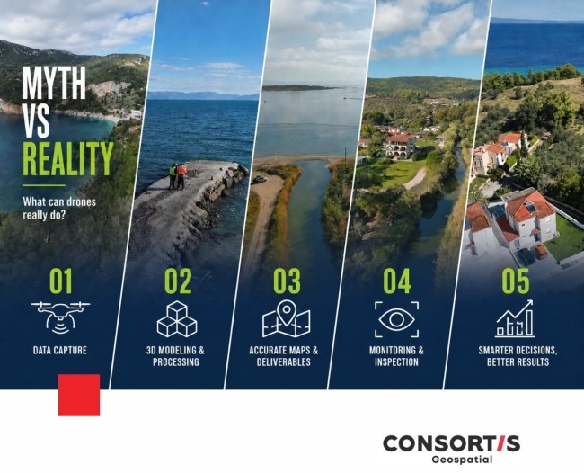
Drones: Myth vs Reality
Many people wonder, “What does the term drone mean?” Drones are unmanned aircraft, meaning aircraft without a pilot on board, which are either remotely controlled by an operator or automatically follow a predefined flight plan. The term “Unmanned Aircraft System” (UAS) includes both the drone itself and the equipment required for its control and operation.
What can drones really do?
❌ MYTH
Drones simply capture impressive aerial images.
✔ REALITY
Professional drones collect highly accurate geospatial data for surveying, infrastructure projects, mapping and technical studies.
❌ MYTH
A drone can completely replace a surveyor.
✔ REALITY
A drone is a powerful surveying tool. It accelerates data collection, expands coverage and supports the production of accurate, reliable results—under the expertise and supervision of a qualified surveyor.
❌ MYTH
Drone images are just photographs.
✔ REALITY
Using specialized photogrammetry software, drone imagery can be processed into:
✅ Orthophotos
✅ 3D Models
✅ Digital Elevation Models (DEMs)
✅ Point Clouds
❌ MYTH
Drones are used only in construction projects.
✔ REALITY
Drone technology supports a wide range of applications:
- Environmental monitoring
Monitoring forests, coastlines and environmental change - Precision agriculture
Monitoring crop health and identifying signs of disease or stress - Flood monitoring
Mapping flood extent and tracking changes in water levels - Urban planning
Monitoring urban development, identifying unauthorized construction and creating detailed 3D city models - Energy infrastructure
Inspecting power transmission lines, solar parks, hydroelectric facilities and other critical assets
The result?
Drones do far more than capture images from above.
They deliver accurate and reliable geospatial intelligence that supports better planning, more effective monitoring and informed project implementation.