Go back
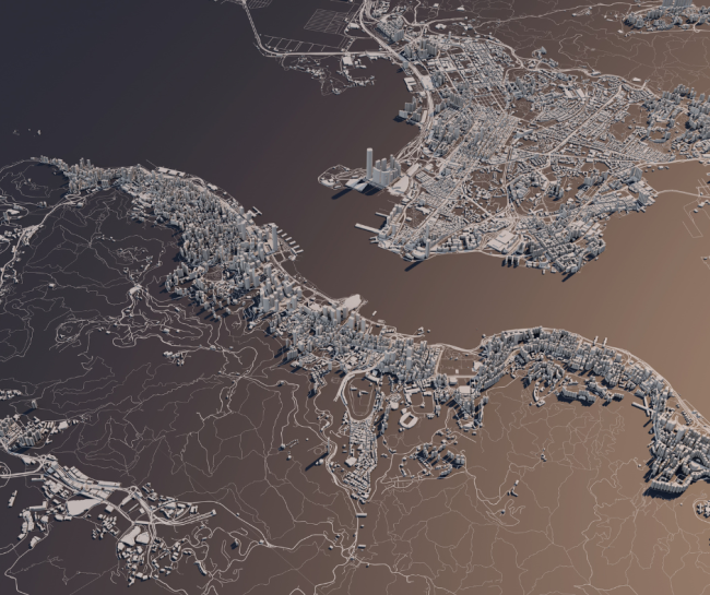
Mapping from Above
Mapping from Above
Aerial and mobile mapping provide exceptional tools for capturing large-scale data.
What we do
We specialize in aerial/mobile mapping services, offering innovative solutions for accurate data collection and analysis. By employing GNSS (Global Navigation Satellite System), LiDAR (Light Detection and Ranging) sensors, and high-resolution cameras, we deliver detailed and precise geospatial information. Our services cater to various industries, including agriculture, construction, urban development, and environmental monitoring.