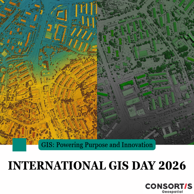
November 18, 2026 | GIS Day – Geographic Information in Practice
Geographic Information Systems (GIS) help us understand how places, activities and resources are connected, revealing patterns and relationships that support better planning and decision-making.
At Consortis Geospatial, our specialized GIS team works with geographic data to develop practical solutions for public and private sector organizations.
Our expertise covers digital and thematic mapping, spatial data analysis, the creation and management of spatial databases, and the development of customized GIS applications.
From urban planning and environmental protection to the management of green spaces and other assets, our work helps organizations make effective use of geographic information in their everyday operations and long-term planning.
On GIS Day, we recognize the importance of this technology and the expertise of the professionals who put it into practice.
Happy GIS Day!